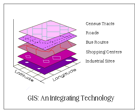
Integrating GIS into Forest Resources Spatial Management and Planning (1) – Introduction
This article is summarized and concluded from articles as follow:
(1) Making GIS Work in Forest Management by Manij Upadhyay, unpublished work.
(2) A Hierarchical Approach to Spatial Forest Planning by Ugo Feunekes and Andrew Cogswell, USDA Forest Service, Proceeding
(3) HCVF/A Identify Within Ecoregion; Integrating Conservation Planning into Regional Spatial Planning by Barano Siswa Sulistyawan, WWF Indonesia,
(4) Assessing participatory GIS for community-based natural resources management: claiming community forests in Cameroon by Michael K. McCall and Peter A. Minang, The Geography Journal Volume 171 No.(4) pages 283-306, 2010
Introduction
Integrating GIS into Forest Resources Spatial Management and Planning (1) - As Indonesia becomes the third highest biodiversity country, it is important for Indonesian to conserve its forest resources. Since, without any simultaneous conservation strategies and sustainable use of forest resources, all advantageous for nation development will be vanished no more than a few years. Concerns over the impacts of forest operations on the forest landscape have compelled a number of agencies to take initiatives to address these issues (Feunekes and Cogswell, 1993)....